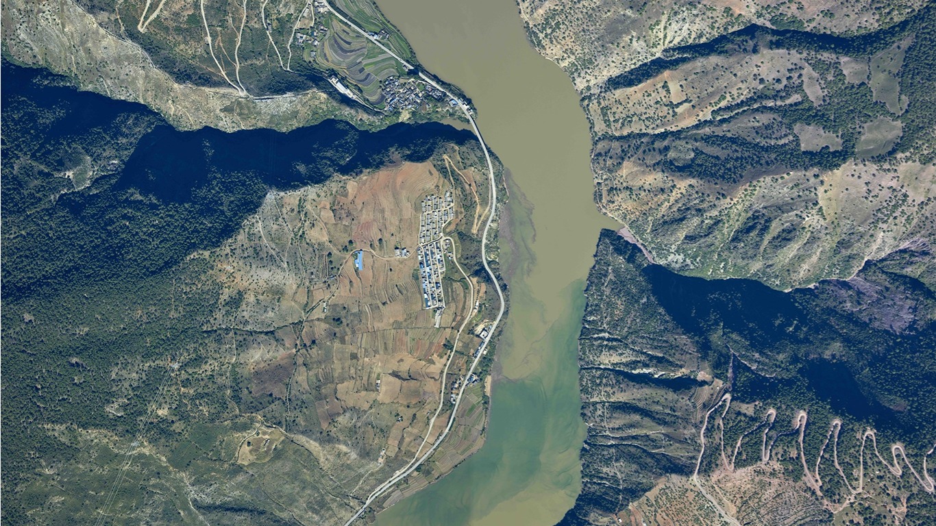
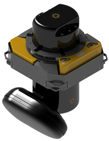
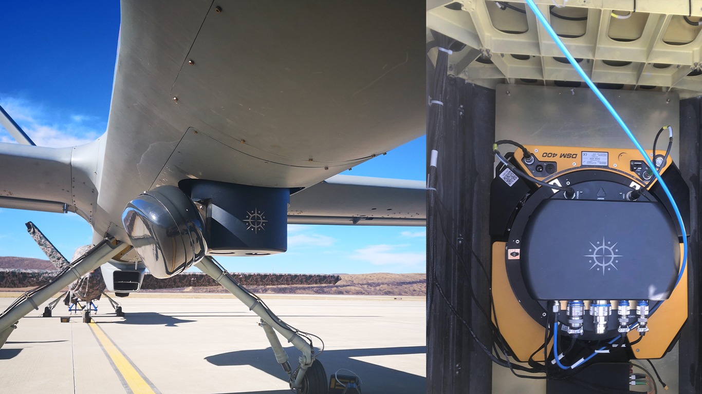
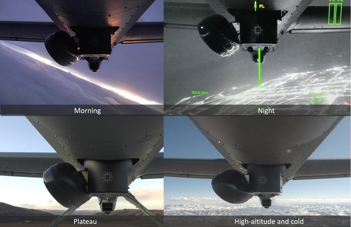
Specially designed for national surveying and mapping emergency projects, capable of all-weather, all-time data acquisition, supporting multi-payload collaborative operations, real-time onboard processing, and situation dissemination, integrating civilian and military applications. It is well-suited to address the information acquisition needs of major natural disasters and key regions, providing assurance for "first-time" on-site information in response to major emergencies.
All-weather, all-time operations
Simultaneous acquisition of RGB imagery and SAR data
Real-time onboard processing and downlinking
Integration of civilian and emergency applications for rapid response
Enclosed design with strong environmental adaptability
Comprehensive and feature-rich supporting software
Compatibility with both unmanned and manned aircraft
Suitable for various flight platforms: helicopters, fixed-wing, rotary-wing, etc.
Emergency disaster relief, aerial surveying and mapping, agricultural monitoring, forest fire prevention, border patrol, reconnaissance remote sensing, law enforcement and supervision.