EMERGENCY DISASTER RELIEF
On May 14th, the "Wing Loong"-2H emergency disaster relief drone, independently developed by the Aviation Industry Corporation of China (AVIC), took off from Anshun Airport in Guizhou and headed to Ya'an, Sichuan, to participate in the national "Emergency Mission 2021" earthquake relief exercise. It arrived at the "disaster area" in the first instance, setting up an information platform and establishing a "lifeline." The exercise, jointly organized by the Office of the State Council's Earthquake Relief Command, the Ministry of Emergency Management, and the Sichuan Provincial People's Government, marked the first large-scale live-fire inspection exercise since the establishment of the Ministry of Emergency Management three years ago. SPARROW ONE aerial camera was instrumental in the exercise and was featured in the media.

The morning of 14th May, Wing Loong under the sky

Prepare for the task
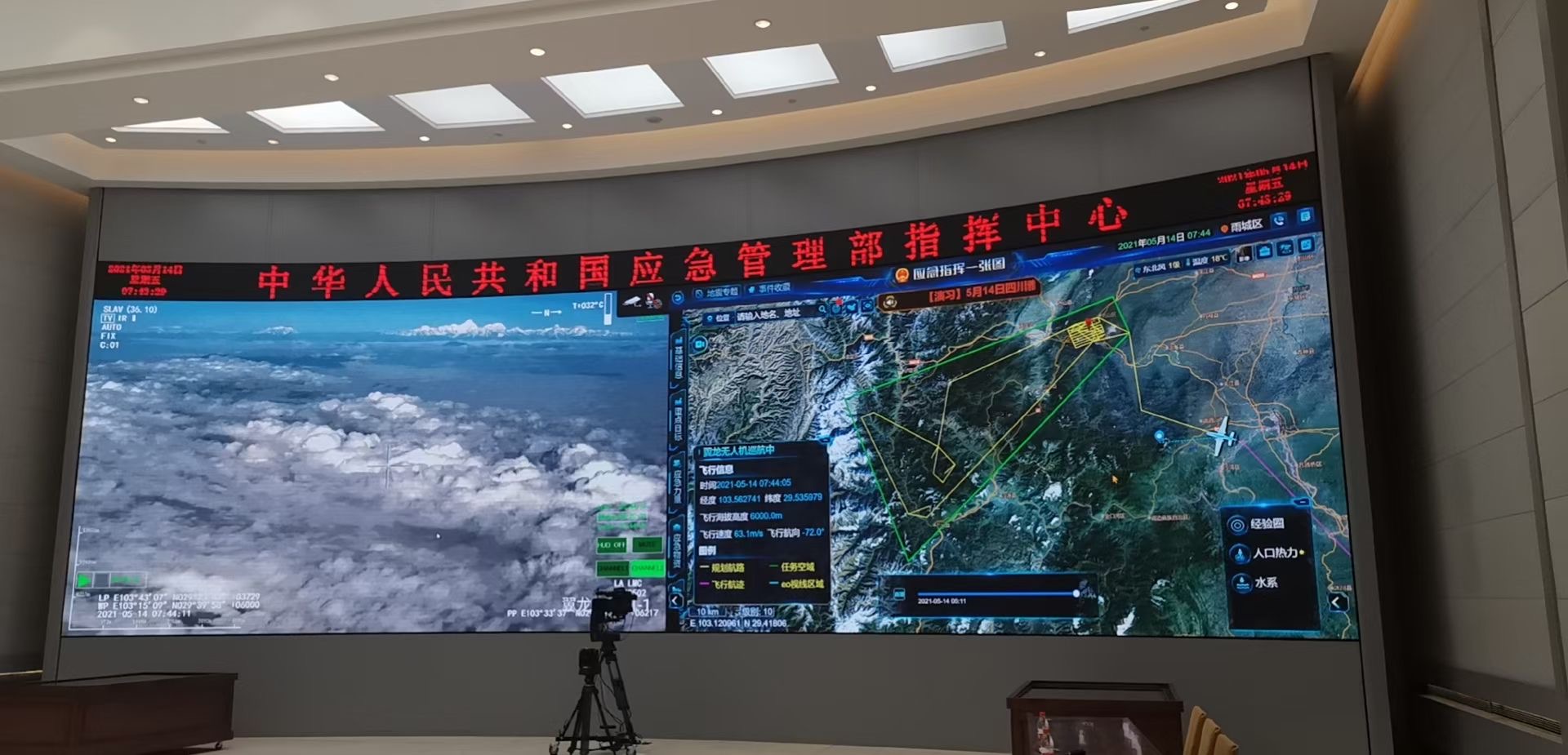
Command Center
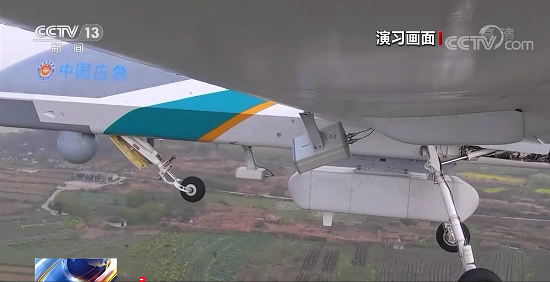
Wing Loong drone with Sparrow One small aerial camera

Sparrow one on Wing Loong drone
![]()
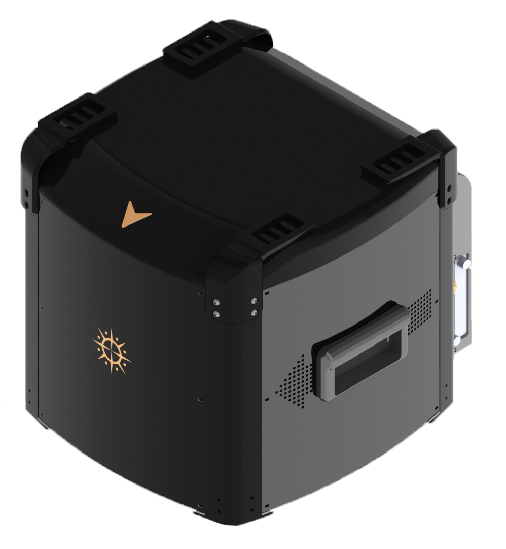
SPARROW ONE aerial camera
The results of practical exercises and tests have shown that the "Wing Loong" electro-optical pod provides clear images, comprehensive radar data, and precise aerial survey maps. The real-time audio and video data on-site are connected to the Emergency Management Department's command center, enabling real-time dispatch and efficient command. This fully demonstrates the operational support capabilities of the "Wing Loong" unmanned aerial system platform, addressing the operational challenges of "inability to access power, and inability to transmit information" in extreme situations such as power outages, circuit disruptions, and network failures.